Anybody who has been to the confluence of the Little Colorado and the Colorado Rivers by foot or boat knows that it is not a place for a ski lift for tourists. If you haven't been there, please read this and trust me enough to #SaveTheConfluence and #SaveGrandCanyon by voting against the Gondola proposal, or signing this petition asking the council not to make the same mistakes so many of us have made before. Places like this are special because they’re isolated. If the confluence loses its isolation it will lose what most makes it special. Besides potentially being a bad investment, it will do irreparable harm to a unique resource, that can’t be reversed. https://secure.americanrivers.org/page/s/no-escalade
Don't even bother watching this video until you've read this and/or signed the petition.
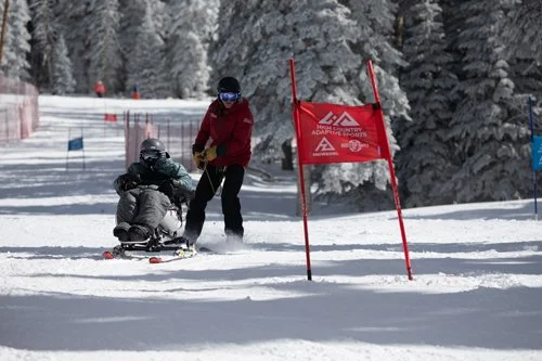
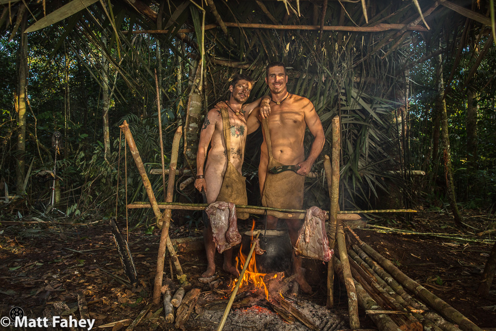
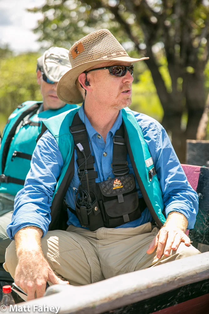
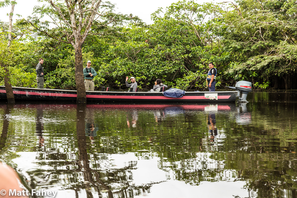
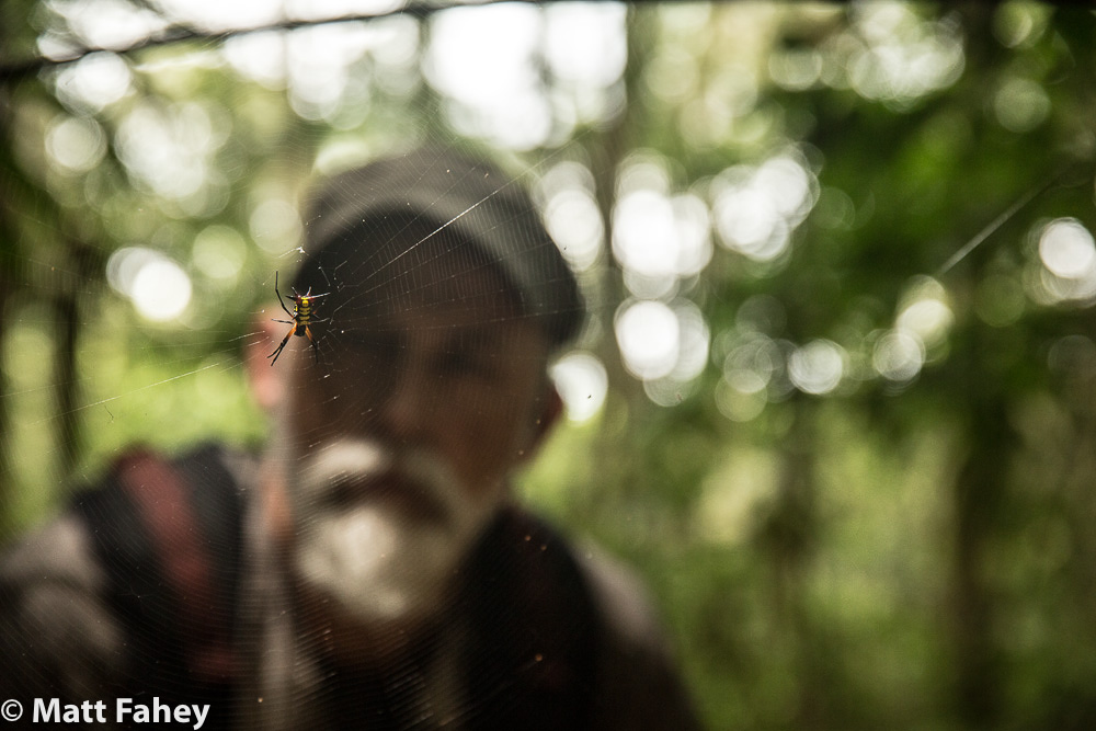
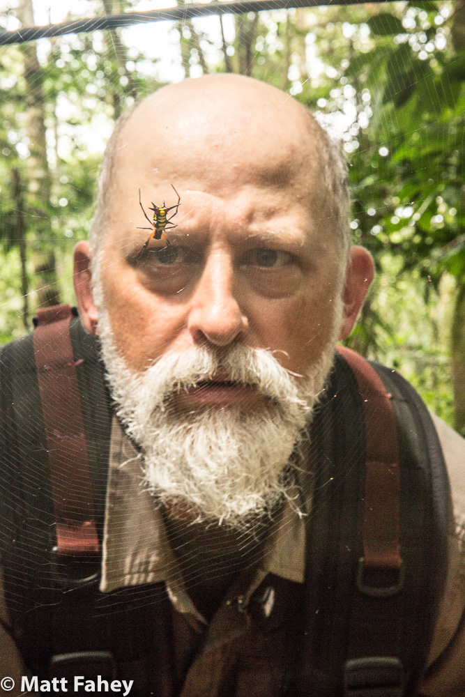
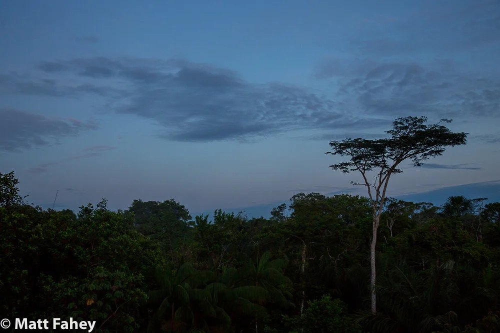
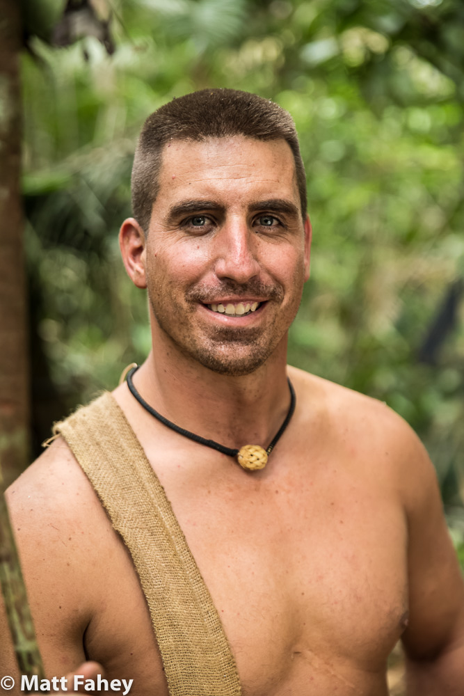
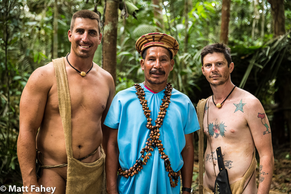
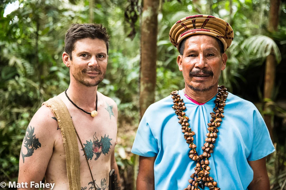
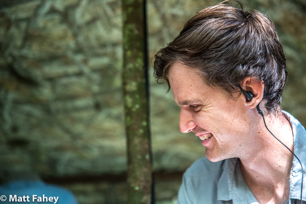
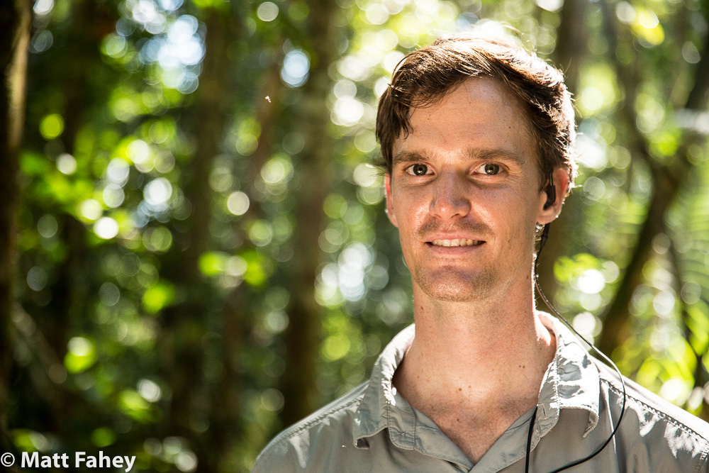
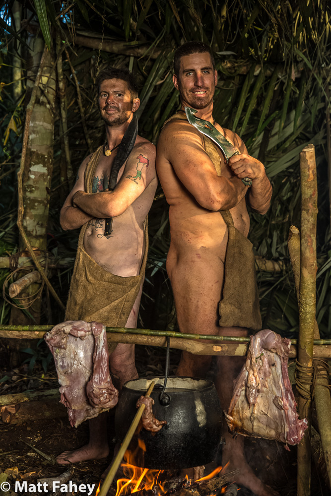
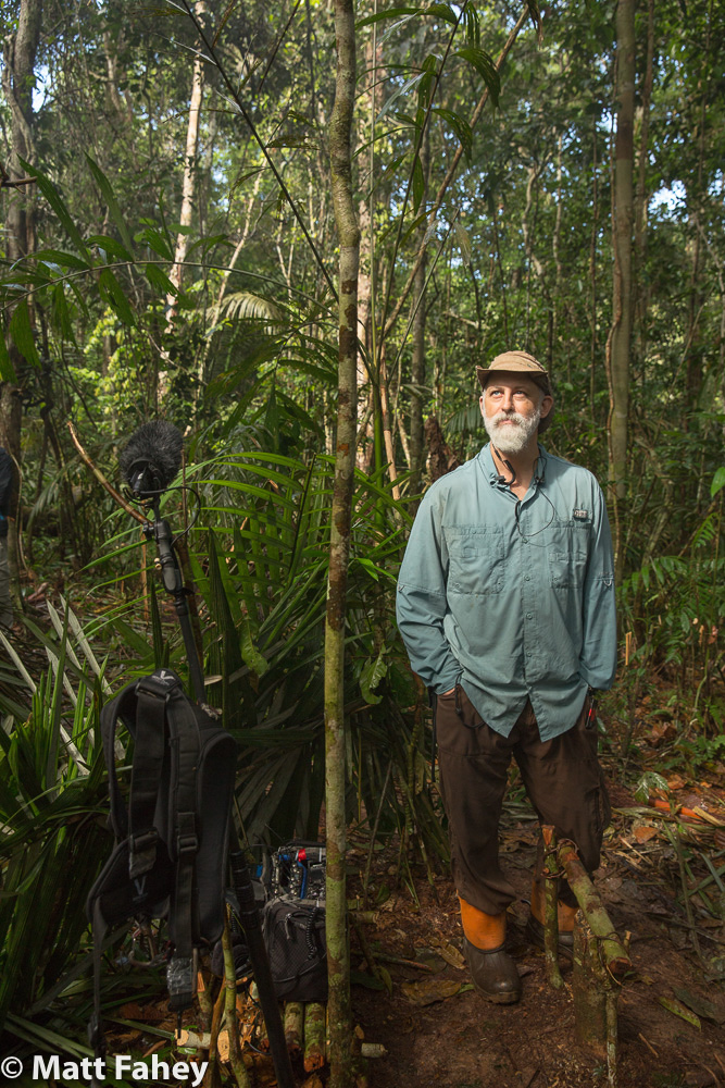
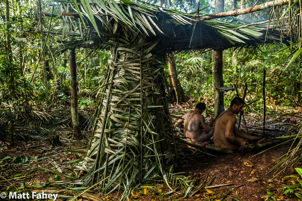
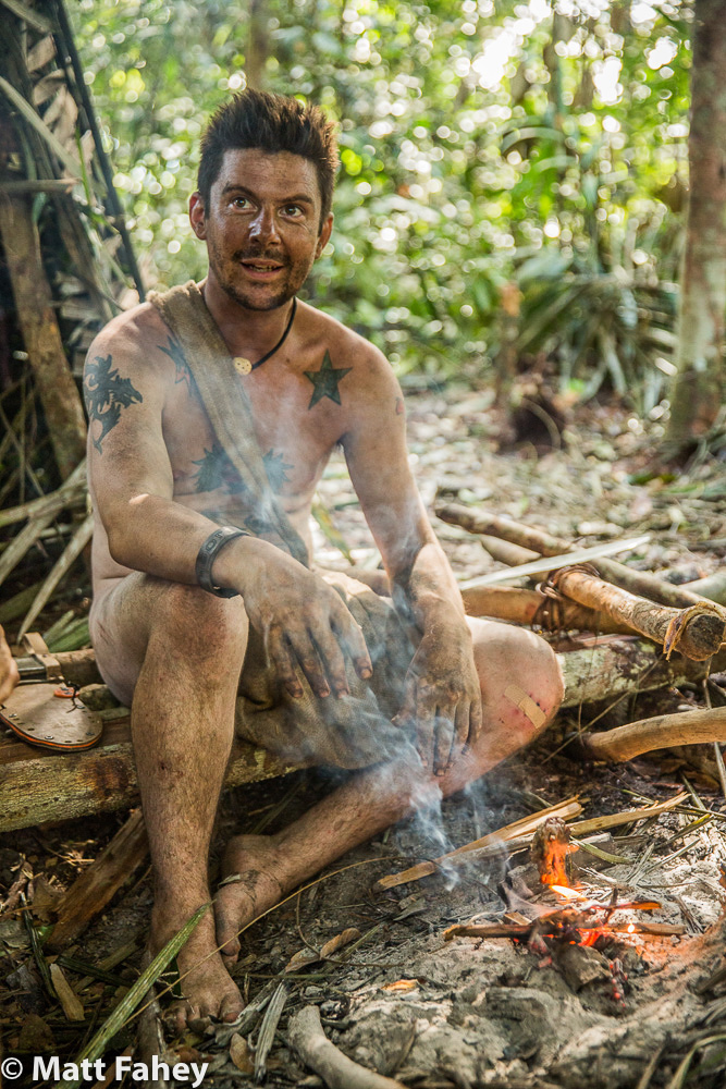
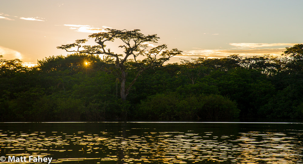
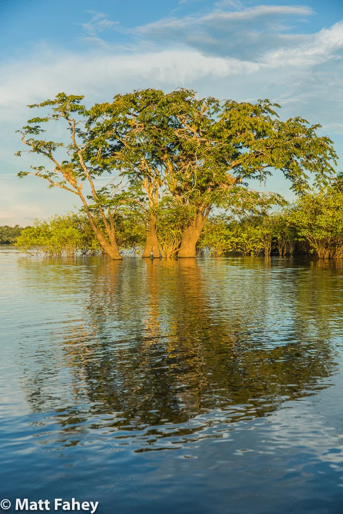
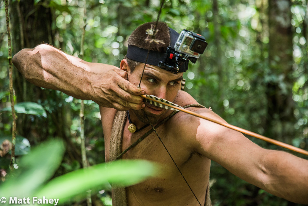
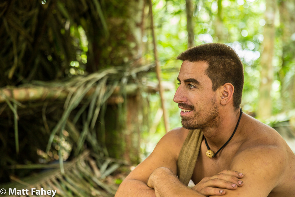
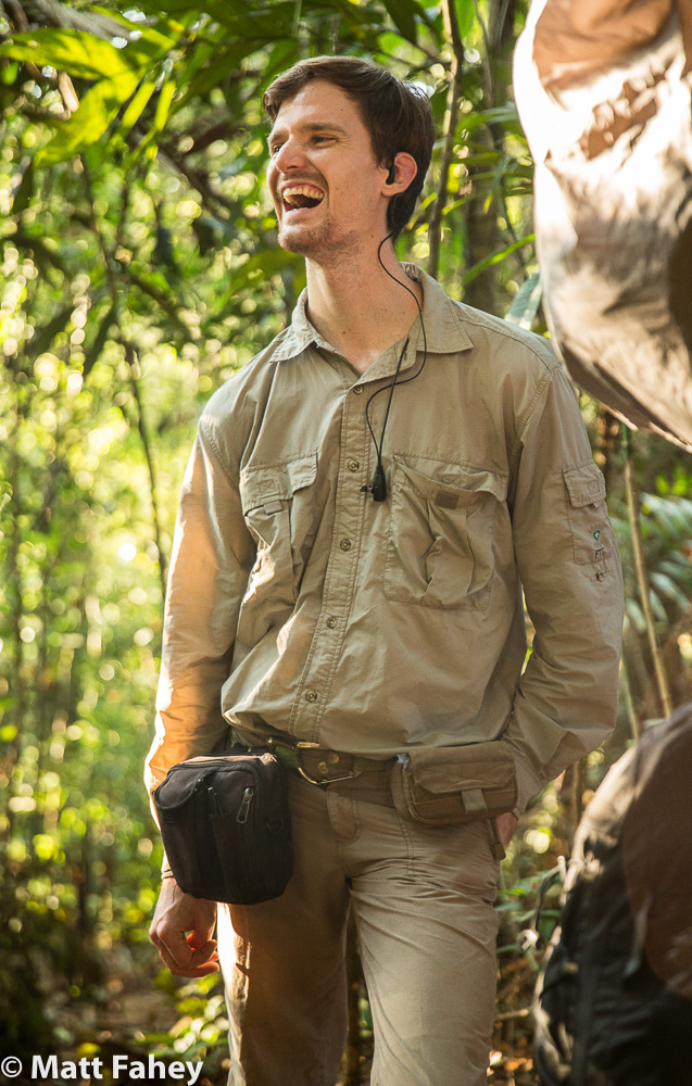
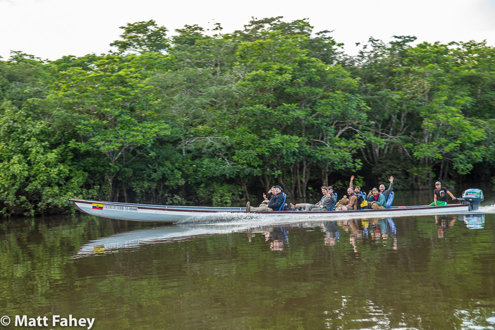
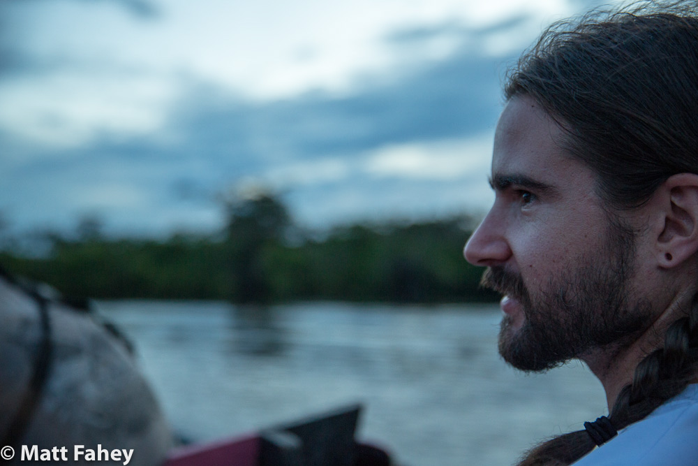
My name is Matt Fahey. I was a river guide down there for almost 20 years. There are many cool side canyons in GC, but none like the LCR. Every once in awhile you find yourself in these isolated moments and spaces in Grand Canyon, usually far up a side canyon, almost always far from the beaten path, and occasionally but vary rarely, someplace close to the river, a place where people just don't go much. When you find yourself in these places, you look around, and realize this place is old, very old, and that spot has been sitting here everyday backing in the sun and cooling or freezing at night for hundreds of thousands of years without humans around messing it up. Sometimes you find yourself standing on a rock that probably no one has ever stood on. These places are extremely rare on Earth now and they have a look to them like an old redwood, or a bristle cone pine or maybe even barn wood in the desert, but way older than even those things. You can see it sometimes from the trail even, but the place we visit down there, camps, side canyons, and trails, they all have this look of use, including the LCR. We took pretty good care to keep these places clean, but all the inevitable trampling, and occasional illegal urination, or cat hole, or dropped sandwich, our trampled scorpion, or buried Band-Aid, or broken fishing line, it takes a toll that doesn’t kill it, but it makes it what it wasn’t: disturbed. So mitigating our impact by following NPS rules and wilderness ethic, we, as river guides, kept all these places fairly pristine in all its trampled beauty, and keep in mind that this is with a maximum of 150 people a day or less.
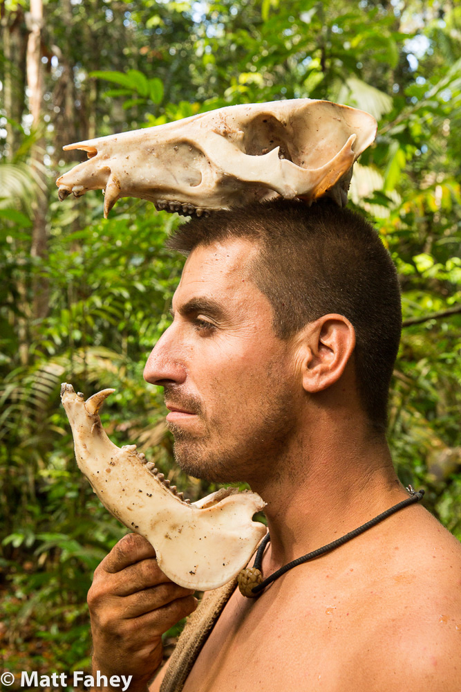
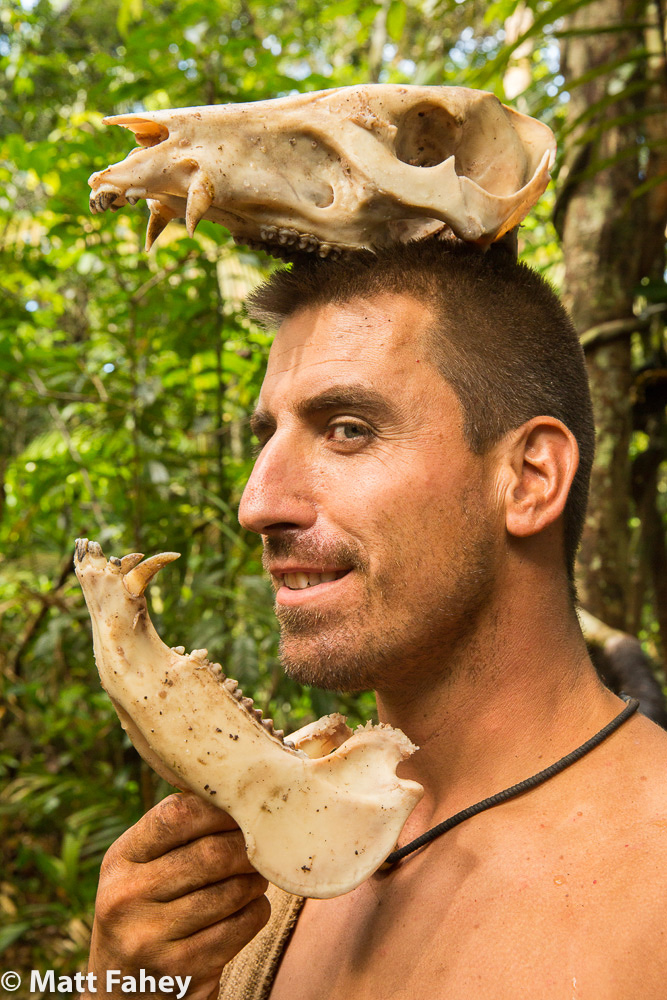
One time we stopped to scout a rapid that no one ever scouts. I don't even remember why we were scouting it even, but we stopped on the side you wouldn't really want to scout from cause it was a terrible place to park boats. This rocky “beach” hadn't been stopped at for years would be my guess, maybe even decades. It was like finding an Egyptian mummy to me. As we scrambled over and around the difficult terrain, I noticed all the rock was un-gouged or polished by flip flops and wet river booties, there was cryptogrammic soil on the scattered sandy parts, which always denotes old and untouched cause it takes hundreds of years for this soil to build back up. There were a few old foot prints in it, but no trail and just a bunch of old Mormon Tea plants and cacti. It was a guide only scout cause of the goofy dumb pull-in, where we had to climb up some rocky terrain to get up high enough to travel down river to get a gander at the swift water, thus the isolation. Half way down the "shore", partially buried in the crypto soil was a bighorn sheep skull. The skeleton had long since blown away as dust, but the head of this noble desert dweller was so old it would crumble if we tried to pick it up. Let me also point out, that I have seen So Many big horn skulls down there, some still attached to the sheep even, but they all disappeared, everyone of them. Whether someone took them home, or a boatman stashes one in a cave to show off to his peeps every trip, or a flash flood washed away the ones that died in the dry creek beds into the river. Any of these places that are frequented by us, the skulls disappear. It’s a numbers game when it comes to use, and it don’t take many numbers for the use to leave it’s mark. This one looked like it had been there a hundred years by my guestimation, but probably more like 25. Before we went back to the boats, I looked around further and saw there were some beautifully rounded river cobbles, big ones, like door stop sized, and other sizes too, all sizes that are capable of being carried away, basically all the sizes that you don’t see at camps or up side canyons anymore. These large river cobbles saltated their way downriver, in ancient pre-dam floods, and settled on this rocky ridge 30 feet up from the tame river level we were accustomed to navigating. In my early career, I had seen very few of these rocks and only at some of the rarely used camps, the kind you would see get passed around and admired on one trip and then another, and then wouldn’t be there the next. They, these beautifully sculpted rocks, leave these places that we frequent, they leave in an ammo can or a backpack or suitcase, and when they leave the canyon, incrementally, they leave the place that much less special. It’s still pretty special everywhere you look, but you’re not seeing what made it special in the first place. It’s just a rock, right? It’s what we do, humans. We love beauty and art and forms and get nostalgic about places and experiences and we take these thing for various reasons, maybe as something to remember it all by, or a mantle piece, or a reward of sorts we give ourselves for surviving the experience. The thing is, the Parks are ours, so we justify and take what is “ours”, but what is “ours” there is ours to share, not hoard. Most of these changes are never noticed cause people often only go to these special places once. When we take what is there and inevitably trample around the ground or pee on it, we take something away from that almost sacred ground, and change it in a way that can’t be undone. These little changes are forever.
The National Park Service is mandated to preserve the Grand Canyon and all other lands under its stewardship. Before the place was a Park or even a Preserve, there were some more or less natural trails the early natives used that followed the fault that not only created Bright Angel Canyon, but also created the breaks in the shear cliffs that halt access to the inner canyon. These trails were anything but maintained trails, so it took a real commitment of planning, supplies, hardiness, and self-reliance to reap the rewards of a trip to the bottom of the Grand Canyon. If you’re not aware, quick history lesson, there were a few Native ruins when John Wesley Powell camped at Bright Angel Creek on his trip down the Canyon, perhaps the first trip ever. They found the canyon and it’s perennial creek so appetizing and pleasant that they laid-over there, gave the canyon its name, and even hiked many miles up it to harvest some trees to replace their many damaged oars. One of the boatman later blabbed about some nearby quartz vein he thought had a lot of gold in, and a minor gold rush brought the first wealth seekers to its depths. Subsequently the first camps were cleared and the transformation from something special to something special-ish began. At first, it was called Roosevelt Camp after the president who stayed there in 1913 and mandated the federal government preserve it for future generations. When he gave his speech, here is what he had to say about it:
“In the Grand Canyon, Arizona has a natural wonder which is in kind absolutely unparalleled throughout the rest of the world. I want to ask you to keep this great wonder of nature as it now is. I hope you will not have a building of any kind, not a summer cottage, a hotel or anything else, to mar the wonderful grandeur, the sublimity, the great loneliness and beauty of the canyon. Leave it as it is. You cannot improve on it. The ages have been at work on it, and man can only mar it.”
So now let me fast forward and then rewind a little. What was first called Roosevelt’s camp eventually became Phantom Ranch. It is a very cool place, but realistically, it is a hotel at the bottom of the Grand Canyon. It is not wilderness. In its own way, it is a little piece of Disneyland. There are rooms and beer and lemonade and candy bars and a restaurant kind of, and a heli pad, and stables and mules, and storage, and homes, and payphones, and flushing toilets, and haggard dehydrated tourists, and trails, and rangers and staff and a campground for hikers and houses and bunkhouses and piped in water, and wind chimes, and although it might not be for the tourists, there is internet, and a bunch of things that kind of don’t belong in wilderness, or a “Preserve”.
Don’t get me wrong here; this is where it gets tricky. Phantom Ranch is special and cool and awesome… still. It’s at the bottom of the Grand Canyon! I have stayed there many times, so many times. I have reaped most of the rewards that only an insider can reap at Phantom Ranch. Back when I was a gregarious charmer, I was what you might call “connected” for a while at Phantom. We used to do interchanges there and our people from the upper half would stay there and hike out the following morning, but our new group was usually mostly there when we would pull in around lunchtime. Usually, from the river trip perspective, we are in and out as soon as possible cause we still have rapids to run and a camp to find. After years of meeting people who worked down there, I had the opportunity to hike down and stay multiple days at the Ranch with friends. And when I did, I got to do things that only ranchers got to do, and not many tourists even get to do. There are so many cool places in that canyon, but hardly any river trip ever gets beyond the cantina and the pay phones. It’s a special place, but it’s not this untouched rugged isolated beauty fest that it had been when Powell and his crew camped there in 1869. It’s a place where people have to call and reserve a room or a bed and months and months in advance, and either hike the 8-14 miles down to it, or take an hours long, bumpy mule ride to the Ranch, and leave the same way they came. It’s no longer isolated, but it’s still special.
Once, I was solo at the boats waiting for our clients to hike in while crew went up to the ranch to mail letters, make phone calls, and drop off the clients. Bored and always hungry to explore, I hiked up to the little trailside ruin above the beach and admired its beautifully built schist walls. I could tell that what was once a “ruin” was no longer really a ruin anymore because it had been rebuilt to entertain us tourists. Most of us lack the imagination to enjoy a “ruin” so we rebuild these things, perhaps to make us think that all things human last forever. So I started to imagine what it had looked like when Powell first wrote about it in his journals, I took away the trail and added the giant silt and sand dunes that used to blanket this area before all the dams trapped the sediment and the raging floods that used to deposit it from bank to bank every year. Then I thought about the bigger picture. Let me just state here that I have a pretty good ability to picture physical things in my head. I looked up at the beach, and then the delta, and the creek and the whole inner granite gorge right there and started to see the place it had been back then. There were no bridges over the river, no bathrooms or phones, or trails, or homes or buildings or rock walls or water pipes or mules or people. I basically applied like an Instagram filter that makes every thing look old and ancient and untouched like the river scout I mentioned before. That’s when it hit me. I realized that of all the side canyons in Grand Canyon, this one was actually the very best for a camp and a hike and a layover day for a river trip, but none of the river people know this cause we always blow by or stop in to make a phone call and drink refrigerator cold beers, and none of them ever goes past the ranch. We aren’t even allowed to camp there, and none of the river people ever see the forest for the trees, cause the trees are covered in a cute little Ewok tree house forest. Bright Angel Canyon would be the place where every trip would be setting up to camp, and negotiating with other trips or racing them to camp and layover at. So we could do what we do to all the other side canyons in GC: explore and enjoy the shit out of nature and its solitude and peaceful rewards, and then leave it for somebody else to enjoy tomorrow, and the next day, and the next. I thought to myself, if I could magically snap my fingers and go back to a Bright Angel Canyon without the trails and the bridges and everything else, and make it untouched wilderness again, just so I could enjoy it as wilderness, I would do it. Is that selfish? You could argue that, but not the way I see it. I want to preserve special places for other people. Should we build an escalator to the summit of Everest? Or should we leave it a place that’s only accessible through hard work and perseverance. The wilderness experience is better shared with a few, not a coliseum’s worth. If I had my druthers, I would prefer to have preserved it for people willing to physically earn discovering a place like that.
But I can’t. Phantom ranch is there, it can’t be undone, and it will forever be something other than the best piece of wilderness it used to be in GCNP. That Rubicon was crossed a long time before I was born. That’s what we do, us humans, we find resources and make a living off of them. That’s what I did as a guide, and that what concessioners do. It’s business. People feed their families and pay their bills, and live a special existence down there, and because of them and the infrastructure that now exists there, thousands and thousands of tourists every year work physically very hard to get there and back up, and some almost die (some do) and get hauled out by helicopter. I’m pretty sure only a small fraction ever picture in their heads what a special place it was and what special things disappeared from there to make it the special hotel-esque experience that it is today.
Here’s the unique thing (for those not in the “know”) with the LCR: the Park Service owns the land from rim to river and rim again from mile 61.5 (the LCR confluence) down to mile 277 or there about, but from mile 0 to the 61.5, the Navajo nation owns river left “above the high water zone”. The original treaty map probably had the boundary being the river, but once river running became popular, the feds probably defined better the vague boundaries in order to cover camps and hikes used by these parties. So technically, the Navajo nation can do what ever they want to the land above this high water zone (approximately 40 feet?). They have every right to use this resource to do what essentially we all are doing, making money off of a resource. The NPS does it; Phantom Ranch does it, the River companies and guides, including myself once, did it. Many businesses are mining tourist pockets for a living and they are doing it by selling a resource. They can potentially offer people what no one else can: a painless, sweat-less, no calories burnt, trip down to the bottom pof the Grand Canyon in a padded chair, to enjoy the spoils that for now are only enjoyed by those willing to hike down to it, or pay a bunch of money to take a boat for 2 to 5 days just to get there. It’s a powerful place, and should this gondola be built, it will still be unique, but it won’t ever be the same special it is now.
In a way, I’m being devil’s advocate here for the Navajo Nation and those who make the decisions that will affect the Park, and consequently, the Park experience. I am acknowledging that they/you not only have the right to do what you want with your land, and that maybe you should be making some money off of what is your resource too: a large, starkly beautiful part of the Grand Canyon, but here is the point that has taken me forever to get to, that I want to get across to the council and anybody else with a say: Don’t do, for lack of a better way of putting it, what the white man has already done. Don’t mess up what nature has already blessed you with. The developers that want to build this thing could care less about the Diné as a people. They recognize that you have a resource worth selling. The business people came for your coal and your uranium, and now they are coming to mine the natural beauty, but none of these resources are renewable once the mining begins.
Let me bring up again the tourist mining business in Grand Canyon, Phantom Ranch. It requires a large infrastructure that is not privately funded. Trail maintenance, law enforcement, miles and miles of piped water brought in and cleaned to make safe for drinking. The federal government keeps that place open at large expense to the public with almost a hundred years of planning, adapting, and infrastructure on and below both rims to keep it viable. Now consider less than 1000 people a day (perhaps 500) pass through Phantom Ranch each day. Estimates of 10,000 people a day could be brought up and down the escalade daily, and it will probably take that many to make the numbers work. Are there that many tourist driving down 89a that haven’t already seen the canyon and would be willing to come see it a second time? Now think of the infrastructure needed to keep that 10,000 hamsters on the hamster wheel going that far from the highway 89a, and that far down inside the canyon: Toilets, restaurants, first aid, staff, living quarters, law enforcement, first aid, electricity… and what about water? It would require such large amounts of water being cleaned of minerals and made potable that it might not leave much in the very river they would be paying to see up close in person. It would not only be a potentially hazardous investment that might not even work, but it would truly be an insult to one of the most special places in the most special of our National Parks. Please keep in mind the words of the first person to mandate its preservation: “Leave it as it is. You cannot improve on it. The ages have been at work on it, and man can only mar it.”